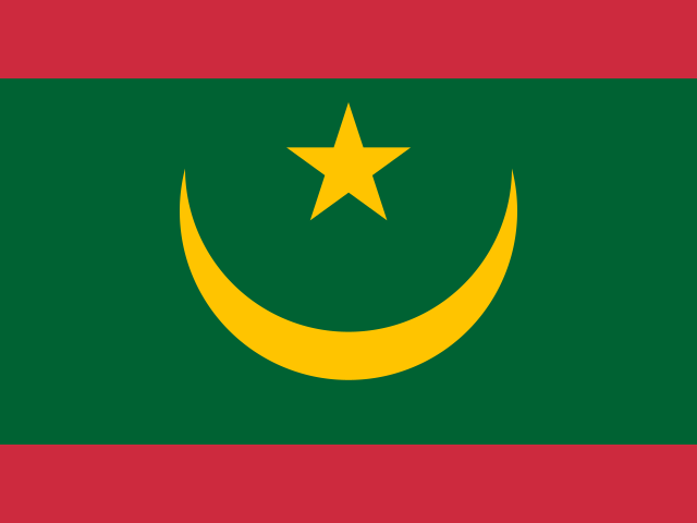
Mauritania
Africa · Untouched
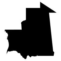
- Capital
- Nouakchott
- Population
- 4.9M
- Area
- 1.0M km²
About Mauritania
Mauritania stretches along Africa's Atlantic coast where the Sahara meets the sea, a land of dunes, rocky plateaus, and ancient caravan towns such as Chinguetti. Its capital, Nouakchott, grew from a small settlement into one of the largest cities in the Sahara region. Nomadic traditions, Moorish culture, and some of the world's richest coastal fishing grounds shape life in this vast, sparsely settled country.
- Mauritania's Richat Structure, the 'Eye of the Sahara,' is a circular rock formation some 40 kilometers wide that is clearly visible from space.
- Mauritania's iron-ore trains, stretching up to about 2.5 kilometers, rank among the longest trains in the world.
- Mauritania takes its name from the ancient Berber kingdom of Mauretania, which actually lay farther north, in what is now Morocco and Algeria.
Mastery
- Capital
- Flag
- Shape
- Drop
- Borders
- Population
- Landmark
 Algeria
 Mali
Mali Senegal