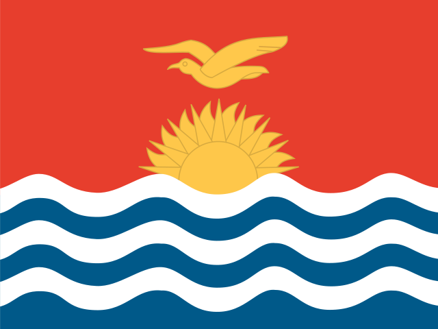
Kiribati
Oceania · Untouched

- Capital
- South Tarawa
- Population
- 121K
- Area
- 811 km²
About Kiribati
Kiribati is scattered across a vast sweep of the central Pacific Ocean, its 32 low-lying atolls and the raised island of Banaba strewn over an expanse of sea larger than India. The capital, South Tarawa, occupies a string of islets along the lagoon of Tarawa atoll. Straddling the equator in Oceania, this seafaring nation is defined by the ocean around it: fishing, canoe craft, and the tides shape daily life.
- Kiribati straddles both the equator and the 180th meridian, spreading its islands across all four hemispheres: north, south, east, and west.
- The name Kiribati is the local rendering of 'Gilberts,' from the islands' colonial-era name, and is pronounced 'KIRR-ih-bass.'
- In 1995 Kiribati bent the International Date Line eastward so its Line Islands would be among the first places on Earth to greet each new day.
Mastery
- Capital
- Flag
- Shape
- Drop
- Borders
- Population
- Landmark