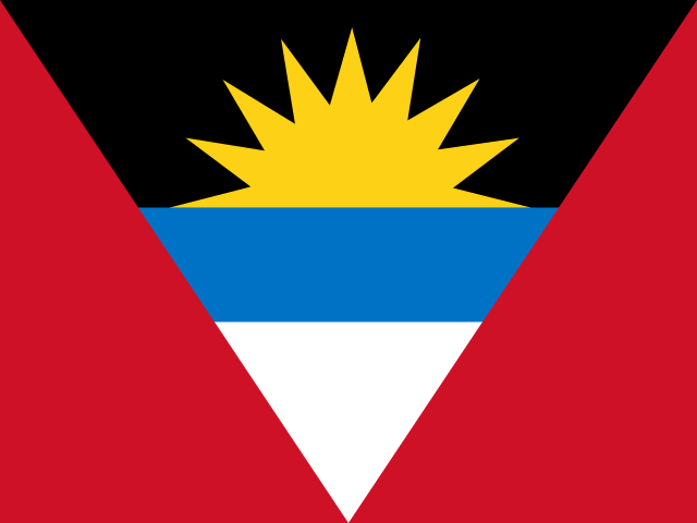
Antigua and Barbuda
Americas · Untouched

- Capital
- Saint John's
- Population
- 104K
- Area
- 442 km²
About Antigua and Barbuda
Antigua and Barbuda is a twin-island nation in the eastern Caribbean, part of the Leeward Islands where the Atlantic meets the Caribbean Sea. The capital, Saint John's, welcomes sailors and cruise ships to a harbor once guarded by British naval forts. Coral reefs, pink-and-white sand beaches, and a proud maritime history centered on Nelson's Dockyard define these low-lying islands.
- Antigua is said to have 365 beaches, one for every day of the year.
- Christopher Columbus named Antigua in 1493 after Santa Maria la Antigua, a revered image in Seville Cathedral in Spain.
- Nelson's Dockyard in English Harbour, a restored Georgian naval base where Horatio Nelson served in the 1780s, is a UNESCO World Heritage Site.
Mastery
- Capital
- Flag
- Shape
- Drop
- Borders
- Population
- Landmark